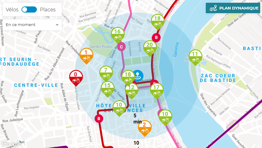
Our transport planner on the infotbm.com homepage and mobile site includes an interactive map. Our interactive map provides a dynamic view of transport services relevant to you and displays real time information when available.
The interactive map can display:
- TBM services in locations relevant to you: by address, public place (schools, shopping centres), municipality;
- tram, bus and Bat3 routes with related travel information;
- V3 docking stations and availability,
- TBM park-and-rides,
- partner companies.
The interactive map is easy to use: Just enter the location you want to view in the first search box.
For example, type in “Parc-relais Buttinière” to view the park-and-ride and transport services in that area. Enter “Cenon” to view the municipality and transport services in that location.


